Why GPS Tagging Water Quality Data Matters in 2026 – And How Connect Strengthens Water Monitoring
As global water systems face increasing pressure, the demand for accurate, transparent, and verifiable water quality data continues to rise. Catchment authorities, environmental consultants, development agencies, and industrial operators all rely on field testing to understand what is happening across lakes, rivers, boreholes, and distributed water networks.
But water test results alone don’t provide the full picture. To make confident decisions, organisations need to understand where each result comes from. They need a reliable way to store, verify, and interpret this information over time. That’s why GPS tagging water quality data has become essential in modern environmental monitoring, and why digital platforms such as Connect by Palintest are reshaping how teams collect, manage, and interpret their data.
What Is GPS Tagging Water Quality Data?
GPS tagging water quality data means attaching precise GPS coordinates and timestamps to each test result. Instead of handwritten notes or approximate locations, users capture exact, verifiable sampling positions that can be reviewed, mapped, and compared over weeks, months, and years.
This simple step significantly improves accountability and helps organisations build defensible datasets that support operational decisions and regulatory requirements.
Why GPS Tagging Water Quality Data Matters
Standalone water quality measurements are valuable, but without accurate location references, interpreting trends or identifying risks becomes difficult. GPS tagged sampling adds essential spatial context and delivers three major benefits:
Traceability and Compliance
Every reading is linked to an exact location, time, operator, and instrument. This creates a clear audit trail and strengthens compliance reporting.
Spatial Insight for Better Decisions
GPS tagged datasets help organisations spot pollution hotspots, understand contamination pathways, and compare results across sites.
Confidence in Repeat Sampling
When retesting is required, teams can return to the precise sampling point — not an approximation — ensuring consistency across operators and monitoring cycles.
These advantages explain why GPS tagging is growing rapidly across regulatory, environmental, and development monitoring.
Global Adoption of GPS Tagged Water Monitoring
Across the world, GPS tagging is becoming a core feature of long-term water monitoring programmes:
- India’s national initiatives use GPS-linked testing to monitor water safety in rural communities.
- Across Africa, geospatial datasets help track groundwater quality and availability across large rural networks.
- In Europe, regulators and agencies are piloting mobile workflows that link GPS data to field results to improve transparency and reporting.
Each example demonstrates a shared trend: geospatially tagged water data produces stronger, more actionable evidence.
Where Reliable Field Testing Meets Digital Traceability
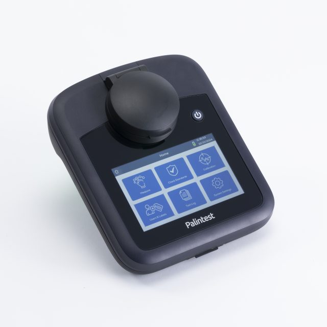
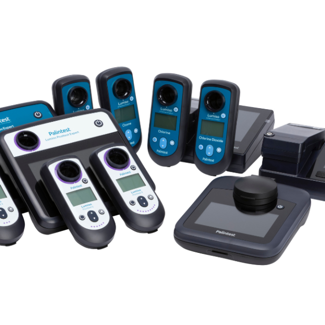
GPS tagging only delivers value when the underlying test results are accurate and dependable. Palintest’s portable instruments are designed specifically to support high-quality field measurement:
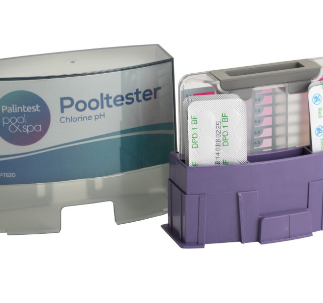
- Kemio Disinfection delivers turbidity-resistant readings for disinfectants such as chlorine and chloramine.
- Lumiso Expert Photometers provide multi-parameter analysis for catchment, river, and industrial monitoring.
- Turbidity Expert ensures precise turbidity measurement in sediment-rich environments.
Each instrument produces stable, digital results that integrate seamlessly into GPS tagged workflows. But turning thousands of geo-referenced readings into meaningful insight requires a modern, centralised data platform — and this is where Connect becomes essential.
How Connect Strengthens GPS Tagged Water Quality Data
Connect is a cloud-based data management platform designed to centralise and streamline water quality testing workflows. When organisations pair GPS tagged field data with Connect, they gain a powerful end-to-end monitoring system.
Centralised, Cloud-Hosted Data Storage
All results — including GPS coordinates, timestamps, instrument details, and operator information — are stored securely in one place, accessible to teams across multiple sites.
Reduced Human Error
Automatic upload from field devices removes transcription inconsistencies and ensures data remains accurate and standardised.
Remote Supervision and Multi-Team Coordination
Supervisors gain oversight of sampling activity across regions, including what was tested, where, and when — even when operators are widely distributed.
Stronger Compliance and Reporting
Connect offers multi-year record retention, creating defensible datasets suitable for audits, regulatory reporting, and long-term environmental assessments.
Faster Interpretation and Spatial Insight
GPS tagged results stored within Connect can be organised, analysed, and reviewed far more easily than traditional manual logs, supporting evidence-led decisions.
Together, GPS tagging and Connect create a modern, digitally-enabled monitoring ecosystem that elevates field data into verified environmental intelligence.
The Future of Geospatial Water Quality Monitoring
As IoT technologies, satellite imagery, and predictive analytics continue to advance, GPS tagged datasets will become the foundation for proactive water management. They will support forecasting models, reveal environmental trends, and help organisations target interventions more effectively.
With precise field instruments and a robust digital platform like Connect, teams are now equipped to build transparent, trusted datasets that support sustainable and defensible decision-making.
Frequently Asked Questions
What does GPS tagging water quality data involve?
GPS tagging links each water test result with GPS coordinates and timestamps, creating a verifiable record of where and when the sample was collected.
Why is GPS tagging important for environmental monitoring?
It enhances traceability, supports spatial analysis, and improves the accuracy of long-term monitoring across multiple sampling points.
How does Connect support GPS tagged data?
Connect centralises GPS tagged test results in a secure cloud platform, helping teams store, verify, and interpret water quality data over time.
Which Palintest instruments are suited to GPS tagged workflows?
Kemio Disinfection, the Lumiso Expert Photometer Range, and Turbidity Expert all produce digital results compatible with GPS-enabled field testing and Connect uploads.
Who benefits from using GPS tagged water quality data?
Environmental agencies, consultants, industrial operators, and development programmes all gain improved traceability and better decision-making outcomes.